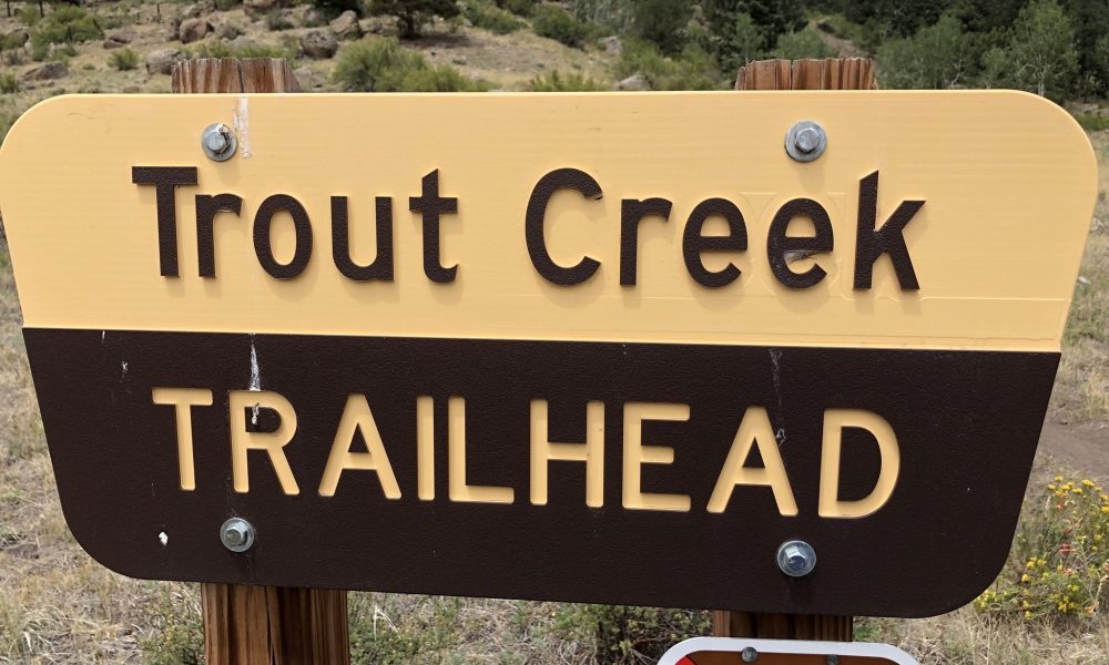
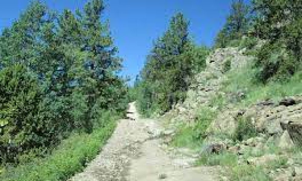
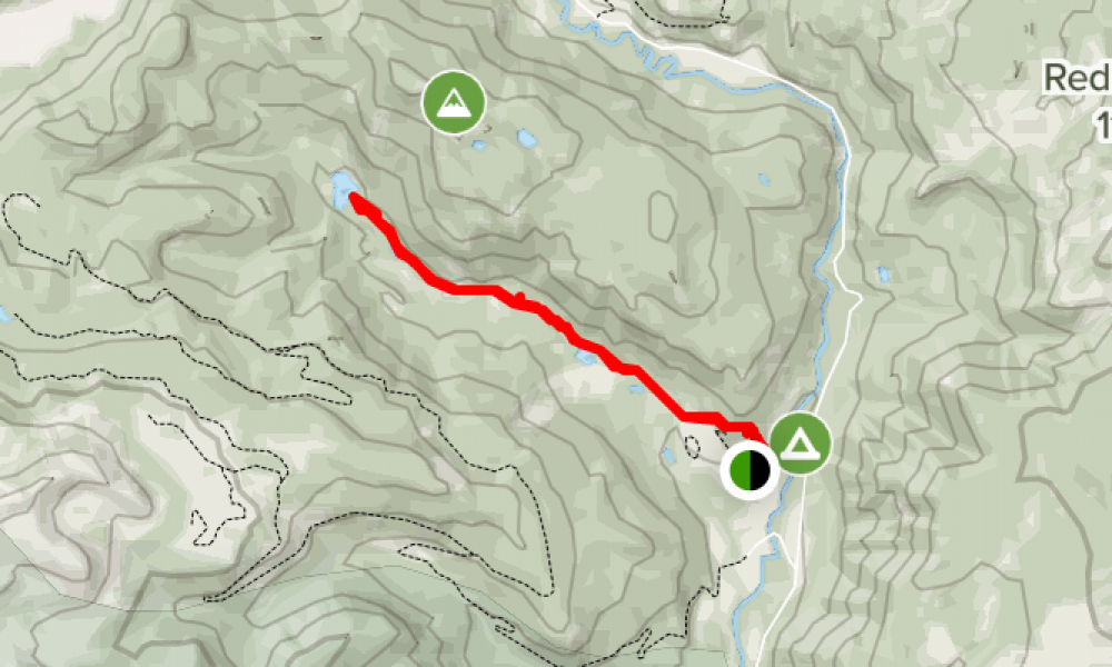
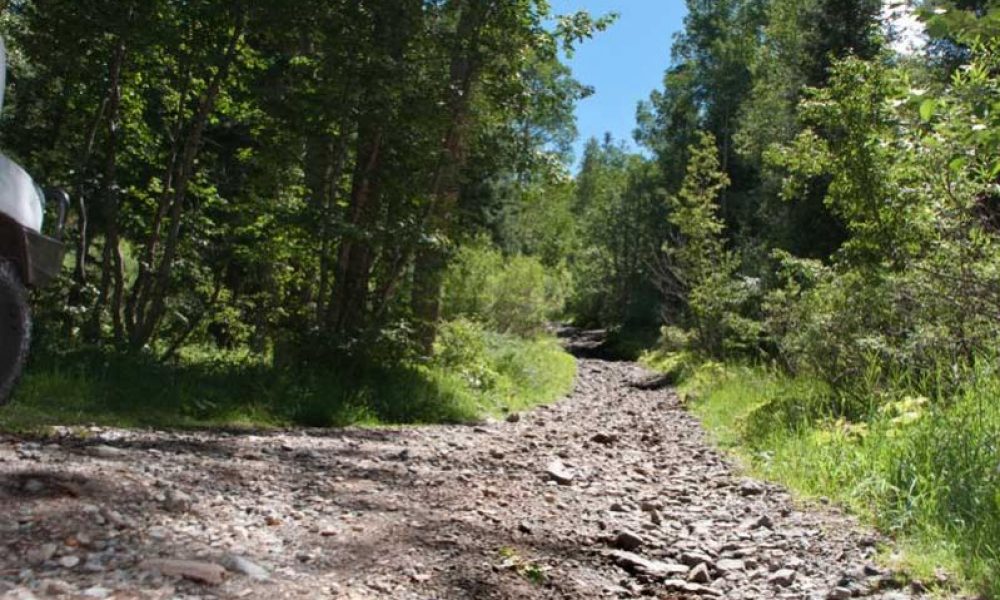
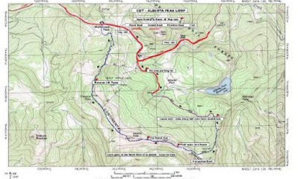
This trailhead is accessed on the east end by Forest Road 350.1A and on the west by the Beaver Creek road at the South Fork Guard Station.
Length-…
Directions- Travel northwest on State Hwy 149 one mile until you cross the Rio Grande. Turn right on County Road 15. Travel east on 15 a little over a mile…
Directions- Travel west on US Hwy 160 for 11 miles. Take a right at the Big Meadows Reservoir turn off. Travel on Forest Road 410 for 2 miles to the…
Directions- From the town of South Fork travel west on US Hwy 160 for 2.5 miles. Off to your right lies the trailhead and gravel parking lot. The trail…
Directions- From the Town of South Fork travel northwest on State Hwy 149 one mile until you cross the Rio Grande River. Turn right on County Road 15.…
Directions- From the town of South Fork, Travel west on US Hwy 160 for 10 miles. Park here in the developed Rest Area. The trail follows Lake Fork Creek to…
This is a high elevation OHV road promises back country air and breathtaking views! Head west on the 160 and turn left onto Demijohn rd. Demijohn rd turns…
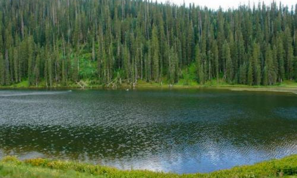
Ready for a high elevation lake day? Try 10,200 elevation! Take the 160 west to Wolf Creek Ski Resort, turn into Resort.
Facilities- none
…
Head west on the US-160 towards Wolf Creek. Turn right onto Co Rd 410 for 1.4 miles. Slight left onto F R 410 for .04 mile.
…
Directions: From South Fork. First you must get to the the dirt road on the right just before you reach the summit of Wolf Creek Pass. If you’ve hit…
